Precise and Creative Solutions in a Wide-Variety of Settings
Surveying & Mapping
Surveying & Mapping Services
Capitalize on our combined experience in:
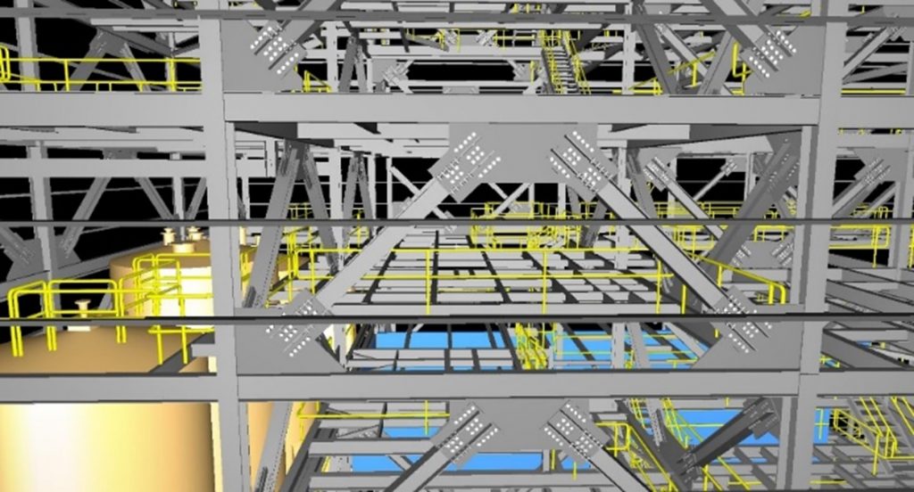
BIM & 3D Modeling Solutions
4D BIM (Construction Scheduling) & 5D BIM (Costs)
2D Drawings from 3D Models
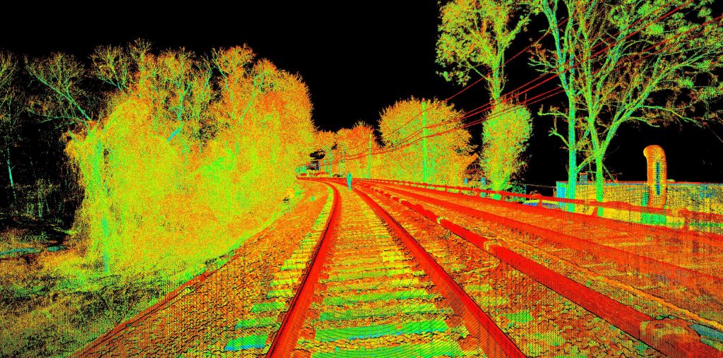
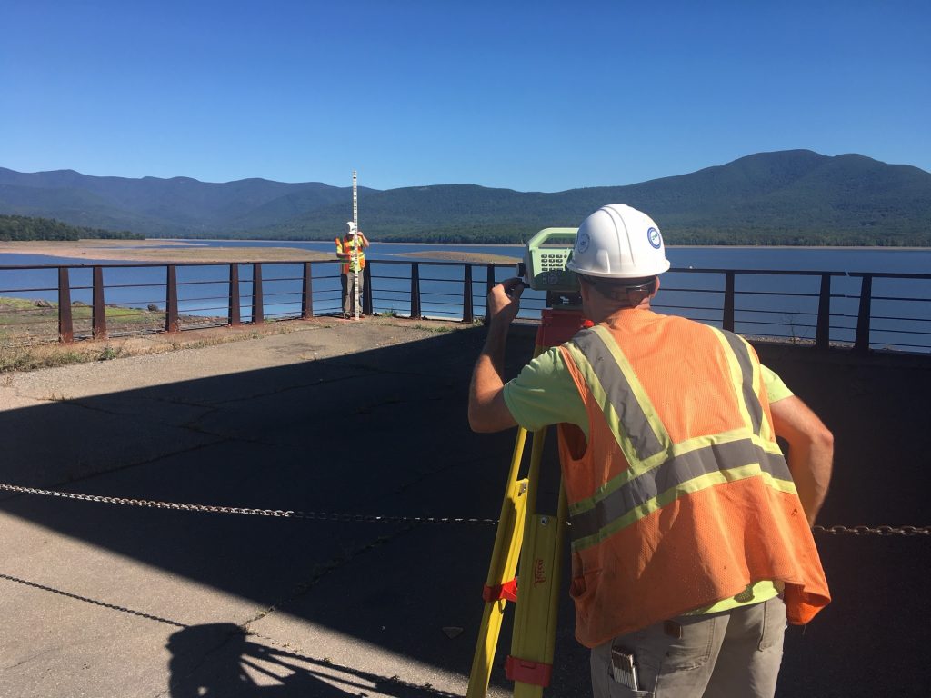
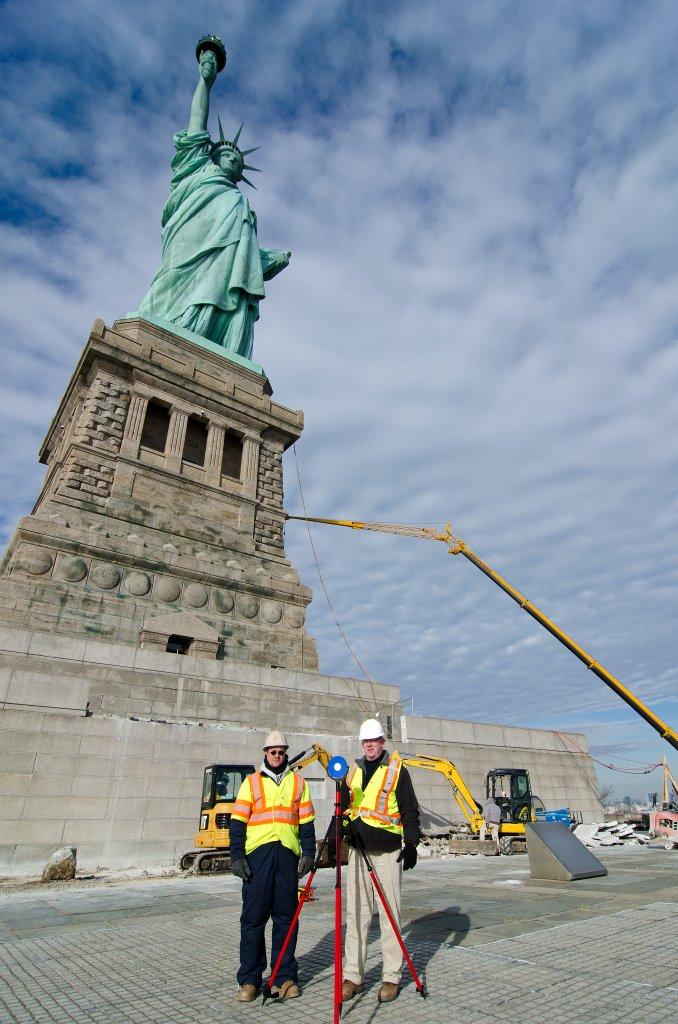
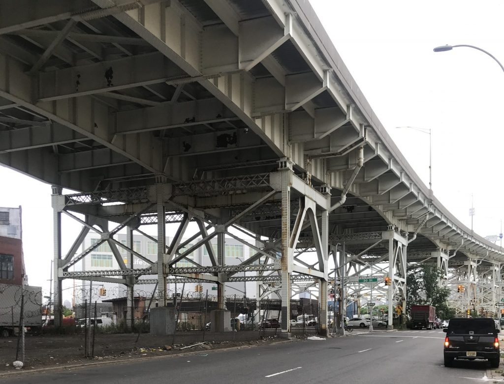
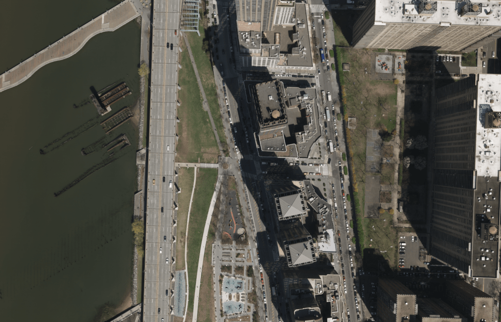
Boundary, Topographic & Utility Surveys
ALTA/ACSM Land Title & Surveys
Right-of-Way (ROW) & Route Determination & Acquisition
Hydrographic/Bathymetric Surveys
Construction Stake-Out
Engineering & Architectural Surveys
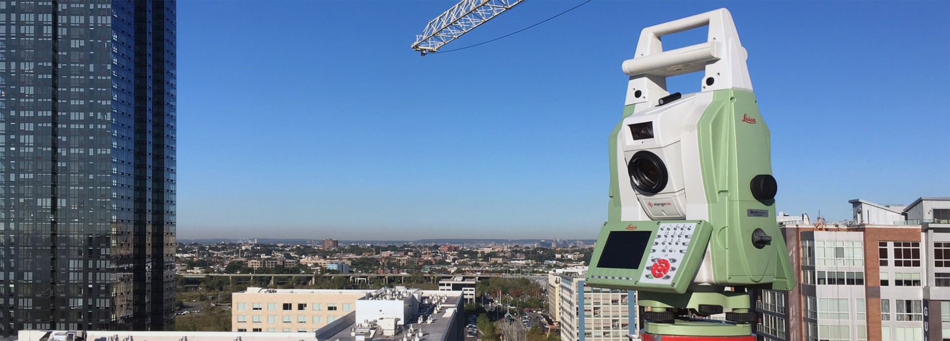
GPS & Geodetic Surveys
Environmental Surveys
Wetlands Location & Stream Surveys
Road Cross Sections & Profiles
Tidelands & Riparian Surveys
Hazardous Waste Site Surveys
Green Acres Program Surveys & Farmland Preservation Surveys
Aerial Photo Control & Fly-Through Videos
As-Built Record Surveys & Validation of As-Builts
Photorealistic Modeling & Rendering Exhibits
Digital Terrain Models (DTM) & Digital Elevation Models (DEM)
Project Site Animations
Geo-Referenced Photography
Facility & Asset Management
Construction Defect/Conflict/Clash Analysis
Volumetric Analysis of Materials
Update of Construction Documents into 3-D CAD Format
Crime Scene Modeling & Expert Testimony
Our Strong Points. Your Advantages.