Topographic & Utility Survey for Roadways
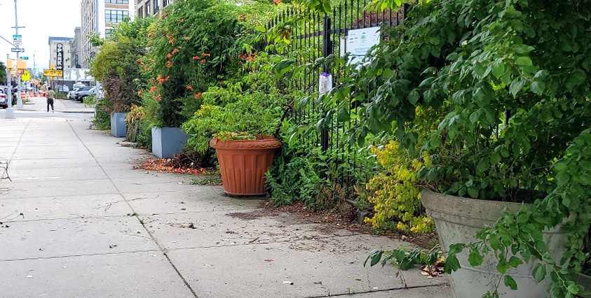
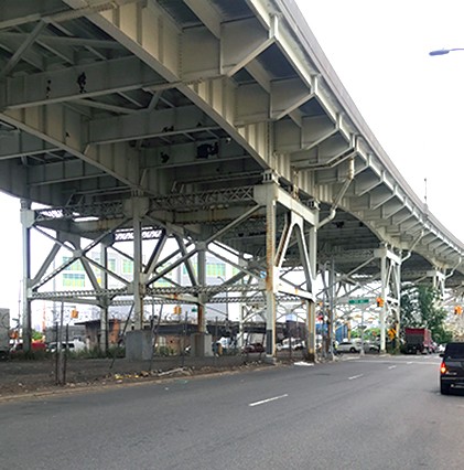
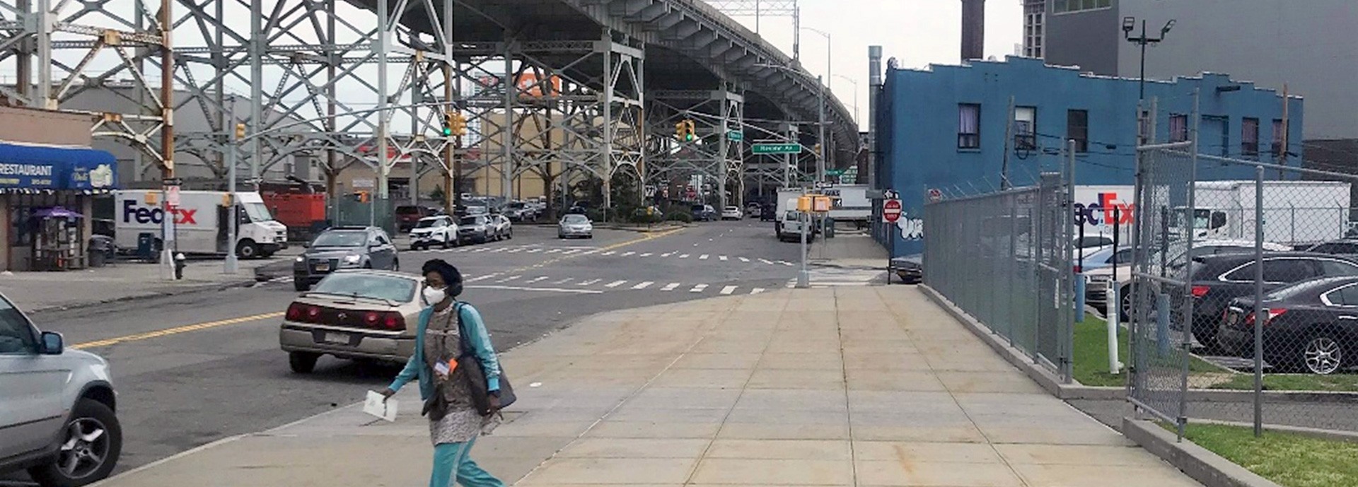
Matrix prepared a topographic and utility survey for an interconnected network of roadways located in Sunnyside, Queens. The network totaled 8,800 linear feet and included Borden Avenue, Greenpoint Avenue, Hunters Point Avenue, and Van Dam Street, among others. Using the established project control network, our field surveyors located all surface features within the survey limits including buildings, fences and walls, trees and tree pits, pavement markings, and all utility hardware and overhead wires. The surveys were extended a minimum of 50 feet up each intersecting roadway and included the location of the first sewer manhole outside the limits. All the raw survey data was run through our field-to-finish routines to assure adherence to NYCDDC CAD standards. Our office staff used this data to prepare topographic and utility plans for submittal to NYCDDC.
Matrix field crews also performed sewer investigation for the entire project, collecting rim and invert elevations and pipe size and direction of flow information for all visible sanitary structures. In the office, our team used this data to prepare complex sewer profiles showing manhole structures, pipe runs, first floor elevations, roadway surfaces and legal grades. The survey drawings and profiles were prepared in accordance with NYCDDC standards under a requirements contract for land surveying services.
Services Provided:
- Land Survey