Advanced Analytical Task Training
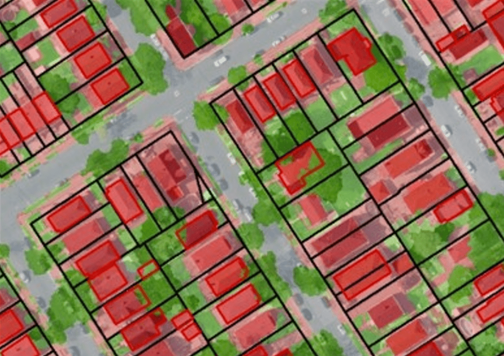
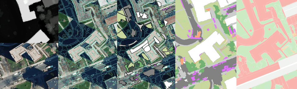
Assisting the NYC Bureau of Environmental Planning analyze the feasibility of an existing storm water management plan, Matrix was tasked with analyzing current and past datasets (planimetrics, LiDAR, aerial imagery, land use) to determine if and what data gaps existed. After visually inspecting these data, across the entire City, Matrix submitted a data gap analysis report detailing certain grids where discrepancies and gaps existed. Matrix staff developed different training scenarios on the use and understanding of a GIS layer for all five-boroughs. Matrix created a training document, detailing the use of Esri ArcGIS desktop, loading and symbolizing the data, joining the layer with other datasets, and finally performing advanced analytical tasks with the layer. Matrix also developed a step-by-step training video to be used in conjunction with the document.
Services Provided:
- Data Gap Analysis/Review
- GIS Data Development
- Training Document/Video Development